ABOUT
TRAVEL IN MICHIGAN
Travel In Michigan is a monthly blog/newsletter posted at
www.travelinmichigan.com. On the first day of the month I upload new
getaways and road trips. Usually there will be one to the upper
peninsula, one to northern Michigan and one to southern Michigan.
The road trips will feature a trail, an historical attraction,
festival or some other fun idea for a day trip in Michigan. Details
for these back roads getaways and road trips are found on
www.michiganbackroads.com and www.upnorthmichigan.com. In addition,
I list upcoming arts & crafts fairs I plan to attend and list my
upcoming personal appearances.
Subscriptions are free and the update notification comes by email on
the first day of each month.
THE MULE TRAIL - NORWICH BLUFFS
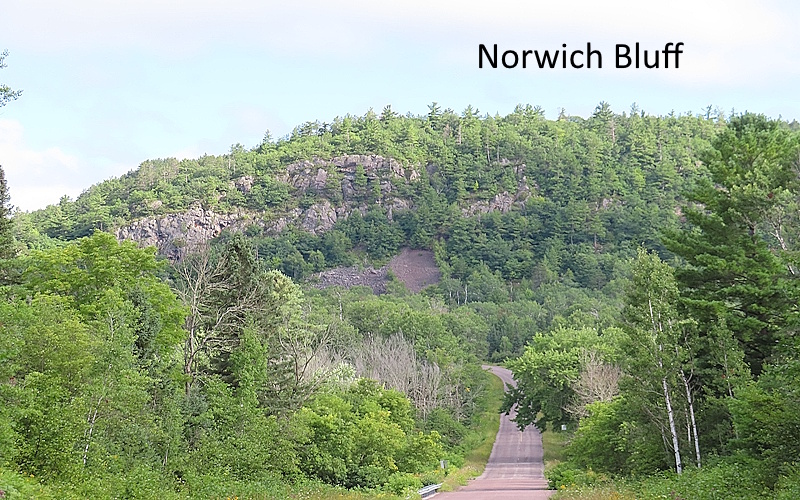
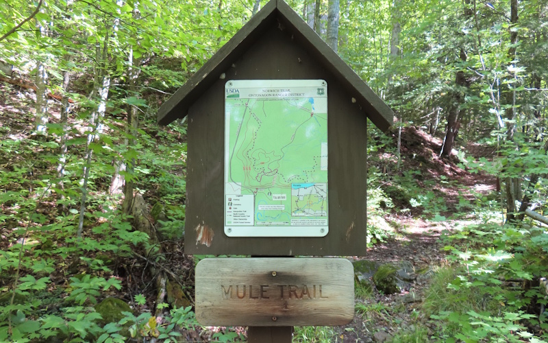
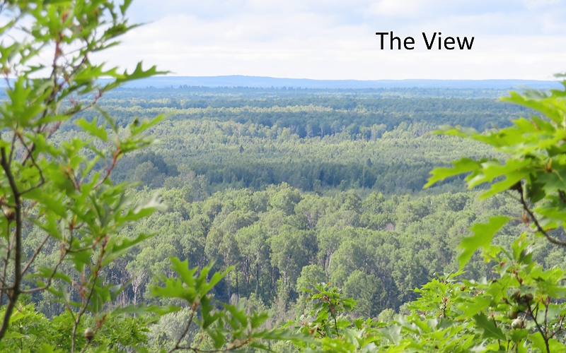
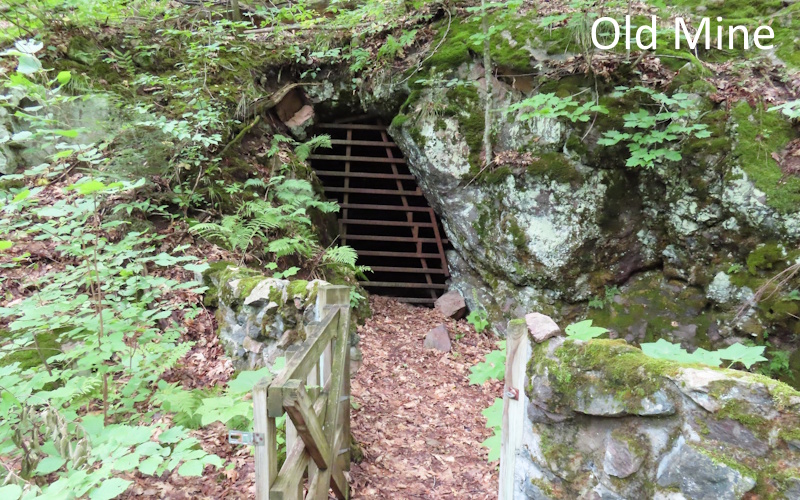
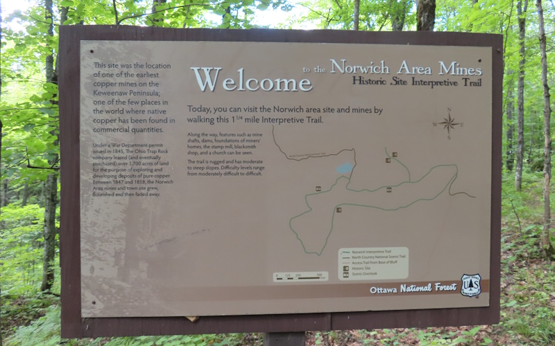
The Mule Trail near Ontonagon is one of a kind. Most of the trails I feature have similar characteristics. Each one has a unique feature that makes it worth hiking in the first place, not just another stroll in the woods. These trails are usually short, under two miles, and each is generally within the capabilities of nearly everyone when it comes to difficulty. The Mule Trail is short and has unusual features but that is where the similarities end. It may be the shortest route to the top of the Norwich Bluff, but the "Mule" is not easy-going. In fact, it is one of the most challenging trails I've run across in years of hiking around Michigan. The top of the bluff is 500 feet up.
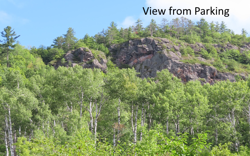
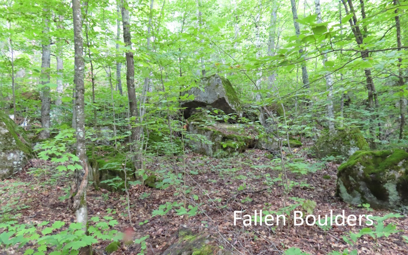
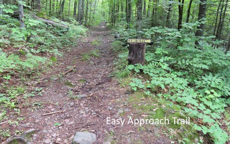
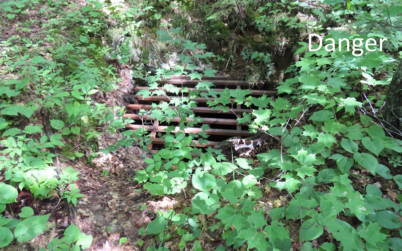
Difficult as the Mule Trail is, it isn't difficult to get to. All you have to do is make your way to the south side of the Norwich Bluff. The trailhead is off Norwich Road. From the parking area it is a short walk on a narrow path to a trail that runs along the base of the bluff. This trail is unimproved but is usually in good condition with the bluff rising along the side and gigantic boulders strewn around the base. After a short distance a small trail branches off to the south. A simple sign at the junction reads, “Cemetery”. It’s interesting to visit the cemetery and it’s not far. The burial ground is tiny, perhaps a dozen markers inside a fence. There is a plaque depicting the layout and names of the interred. The cemetery appears to be regularly tended.
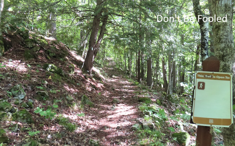
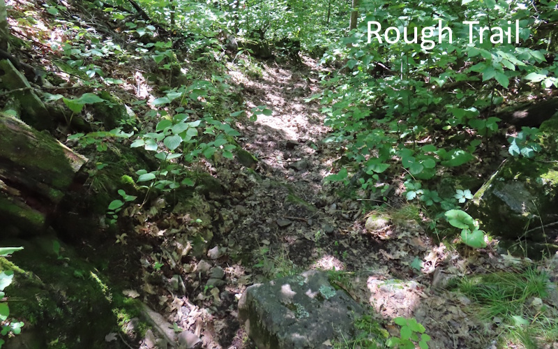
Return to the main trail and continue east. After another short walk you will come to another side trail. This one goes up the bluff, and a small sign indicates that this is the Mule Trail. Get ready because the “stroll in the woods” part is over, now comes the “bust your ass” part. I don’t know how this rough track got its name, but it is appropriate. The trail is narrow, and rock strewn with protruding roots and often parts that are washed out. Not only is the trail in rough condition, but it is also extremely steep. I would estimate that it is well in excess of 45 degrees. There are parts of the trail that are closer to 65 degrees of incline. Just perfect for a mule.